We’ve been on the road for over two years now, but this is our very first tour ever. The lure that attracted us is that this tour will highlight traditional Irish music (read: pubs!), and will be led by one of our favorite singer-songwriter duos, Small Potatoes (The link below lets you sample their wonderful music in a new window – http://www.smallpotatoesmusic.com/waltz.html). We’re touring south-west Ireland with 20 other music “groupies” like us, hailing 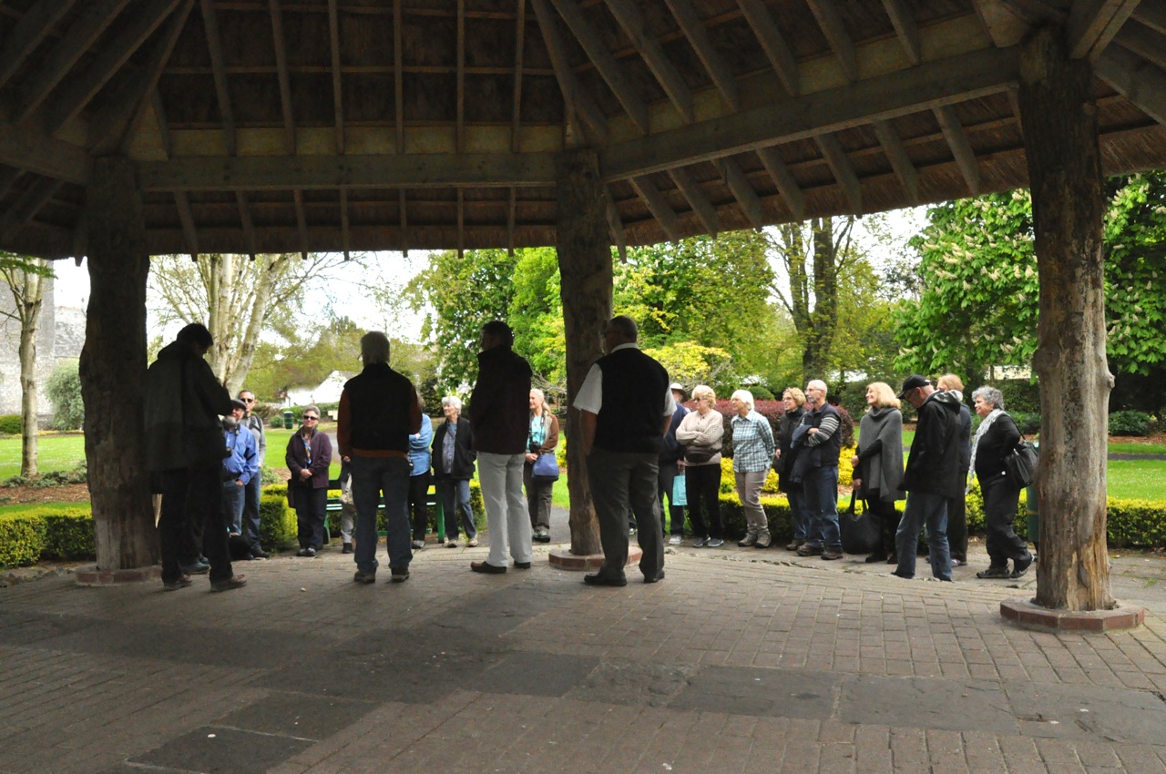 from California to Virginia, Minnesota to Texas; most of us are shown in this picture, just before we seriously hit the road. I should mention the other, non-musical attraction of Irish pubs: triple-distilled Irish whiskey to sample, and real Guinness beer (which is apparently different and better in Ireland). Let the trip begin!
We’re heading to County Cork. In the picture above we’re in Adare, an Irish town with a lot of charm, as shown in the pictures below.


One of the disadvantages of a tour is that the bus has an agenda; it’s going A to B, and not stopping when I want to take a picture. Shooting through the window will have to do. We whiz by some green, green countryside – and an amazing number of ruined castles.


Yeah, the first two pictures are the same castle, but isn’t it interesting?
Ginger and I lunched on crab sandwiches in the town of Kinsale, near the southern coast – crabmeat in Ireland seems to be a staple and is fabulous. And then on to Skibbereen.


At this point it’s worth presenting just a little Irish history. There is good reason why the southern Irish have no great love for England, and why today southern Ireland is a separate country. The English horribly persecuted the Catholic Irish in the south. If you were Catholic (about 80% of south Ireland), you could not vote, you could not hold political office or important positions like sheriff, lawyer or judge, you could not own a gun or join the army, you could not speak the Irish language or play Irish music, you could not buy land, you could not send your children to a foreign school, you could not live within a walled city, and you were required to pay tithes to the Protestant Church of England; good land that your family had owned or rented (at onerous prices) for generations was often confiscated and you were forced to the island periphery where land was poor (and forced to move too early to harvest and too late to replant). If you were fortunate enough to own land, it had to be divided equally among all your sons when you died. After a few generations, Irish Catholics were among the poorest people in Europe, possessing almost nothing. However, although they were living off of small parcels of poor land, potatoes could grow in poor soil, and just one acre planted in potatoes could (and did) provide food for a small family. The population of Ireland grew from 5 million in 1800 to 8 million in 1841, but 3 million of those people were wholly dependent on the potato for food. Then the blight destroyed the potato crops. The Irish population decreased by 25%; a million died of starvation or disease, and a million emigrated. Yet over the five years of this potato famine, grain continued to be exported from Ireland to England; the government refused to stop exports, fearing that it might upset the market.
“Oh son, I loved my native land, with energy and pride, Til a blight came over all my crops, my sheep and cattle died; My rent and taxes were to pay, I could not them redeem, And that’s the cruel reason why I left old Skibbereen.” Skibbereen was the epicenter of this horror, with some of the most harrowing suffering endured by famine victims. Between


8,000 to 10,000, unidentified souls are buried in the Abbeystrewery graveyard. The famine story is told well at the Skibbereen Heritage Center museum; as shown above, the mass graveyard is more than simple; it’s just a flat, grass-covered surface. The coffin-less burial pit somehow looks small for the large number interred there.
The famine was a watershed in Irish history, a dividing line between the Irish and the British Crown that eventually led to Irish independence.
We next visited Bronze Age Ireland – the really cool Drombeg Stone Circle – with burial remains dating between 1100-800 BC. That’s old! This is one of Ireland’s most famous
")

stone circles, and the site has quite a view! The circle is comprised of 17 pillar stones graded in height from the two 6′ portal stones to the opposing recumbent alter stone, which has two cup-shaped depressions, one with an oval carving around it. They’re impressive stones; in medieval times, people believed that the stones had been arranged by an earlier race of giants. The center of the circle contained a buried inverted pottery vessel covering the remains of a cremated youth. The reason for these ceremonial circles is long-forgotten; currently they are believed to have been solar observatories used in planning critical crop-planting cycles. On the winter solstice, the sun sets at a point on the horizon that lines up with the axis of the two portal stones and the alter. The picture on


the right shows Ginger ceremonially toeing that axis.
This location has more than the stone circle. Nearby is the “fulacht fiadh” (an ancient cooking place) and two conjoined huts. The picture on the left below shows the proximity of these structures, with the Drombeg stone circle in the upper left. The picture on the right shows the fulacht fiadh (background) and the hut foundations (foreground).


Fulacht fiadh are the most common archaeological sites in Ireland, numbering over 4,500 (County Cork has 2,000 of them). They are commonly found with small hut sites like this one. The fulacht fiadh were built near a water source (or boggy ground) and near a source of wood and stone. They consist of a mound of stones, a hearth to heat the stones, and a trough, often lined with stone, which was filled with water into which the heated stones were rolled. Experiments show that 70 gallons of cold water could be heated to boiling


in 18 minutes. It is believed that meat (as in, a deer) was then cooked in the water. However, no remains of foodstuffs have been found at these sites; other theories are that the sites were used for bathing, for the washing and dyeing of cloth, for leather working, or even for the brewing of beer.
The huts may also have had a food processing function. One of the huts contains a


stone-lined feature believed to be a roasting oven, and a pathway links the huts to the fulacht fiadh.
 Enough for one post! One last look at the countryside. The rain has stopped, the clouds have lifted, and it has become a sunny, gorgeous day in Ireland.
Next post – Mizen Head, Ireland’s most southwesterly point.

Beautiful country and interesting history! But where are the golf courses?
Good point! Applies even more to Scotland (those blogs to come). Alas, at this point we’re voyeurs, not players. You need to show us the way, cous.
[…] SW Ireland Tour with Small Potatoes is over (Southwest Ireland Tour and Traditional Irish Music I”, June 20, 2015), but for the next 1½ days we get to hang out with our good friends […]
[…] our previous encounters with similar stone circles in Scotland and Ireland (Isle of Harris and Southwest Ireland Tour and Traditional Irish Music I). All these stone circles were built on a relatively high hill or ridges, with a view of the […]